Let's hope that is true. By my count I have been backpacking for about 30 years. I've seen a lot of strange stuff and never had an "epic".
I like to hike and climb alone and I have developed the habit of becoming extremely careful when out in the wilderness. One whiff of danger and I am outta there. The back country is no place for Macho Men.
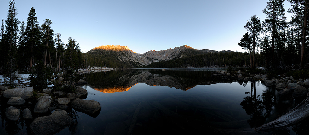
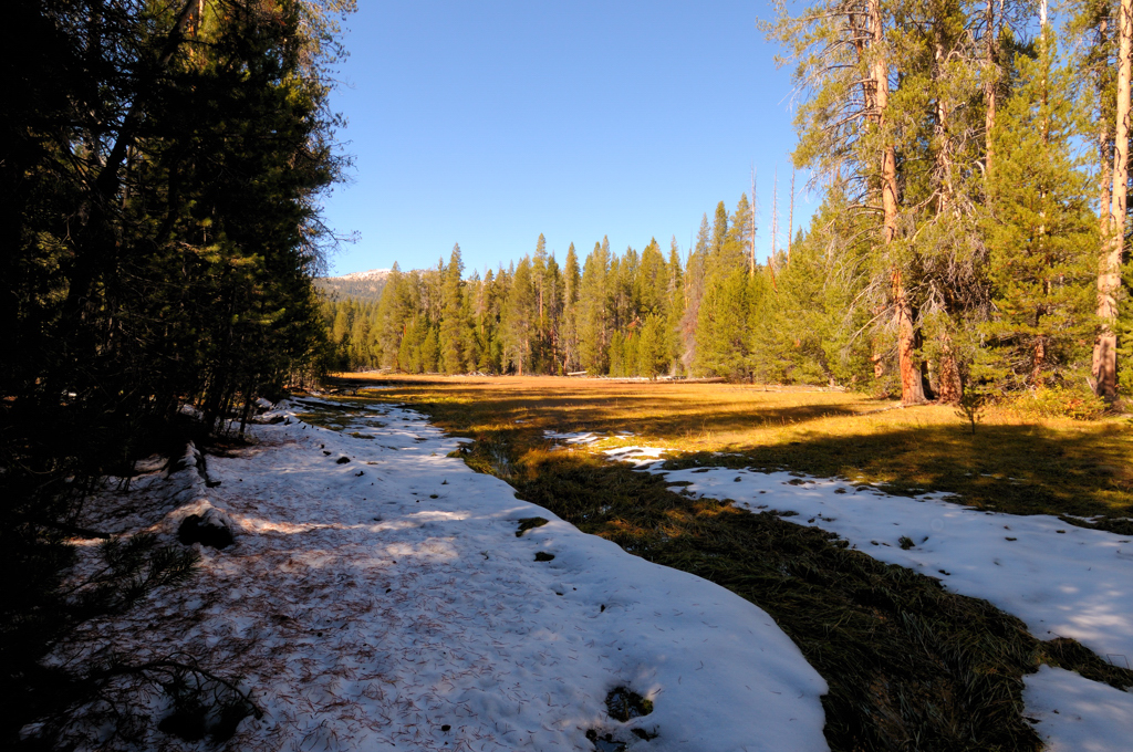
I decided to take an "easy" hike up to the Devil's Bathtub from Edison Lake and then attempt the easy climb of Graveyard Peak the following morning. The Devil's Bathtub is a beautiful mountain lake located in the John Muir Wilderness in central California. UTM coordinates S 323409.16m E 4144208.76m.
Here's an early morning shot of the lake looking toward Graveyard Peak (the smaller lit patch near the center-right of the image).
How did I mess up? Easy, I got cocky. I didn't bring a map. I didn't bring a compass. I didn't bring my GPS. Any one of these alone would have saved me a substantial amount of pain. Together this hike would have been as trivial as you would expect.
The trailhead is at the southwest end of Lake Thomas A Edison. It's 4.4 miles from the trailhead to the Devil's Bathtub with a gain in elevation of 1370 feet (most of that is one small area).
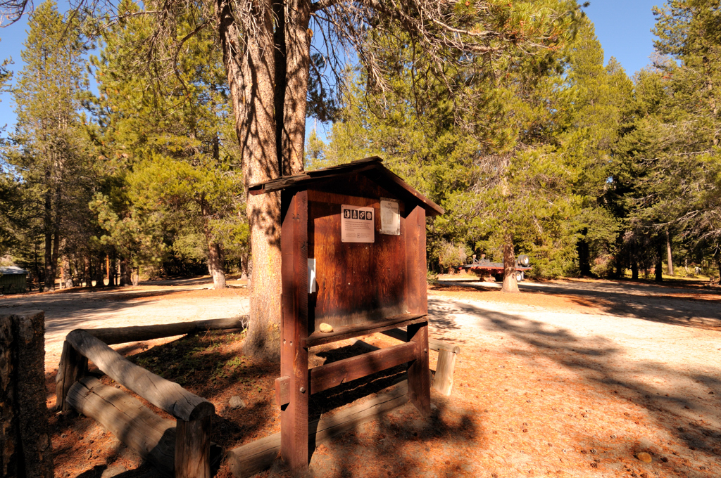
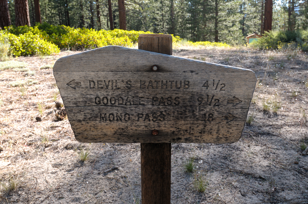
Here's the sign at the trailhead (1:20pm):
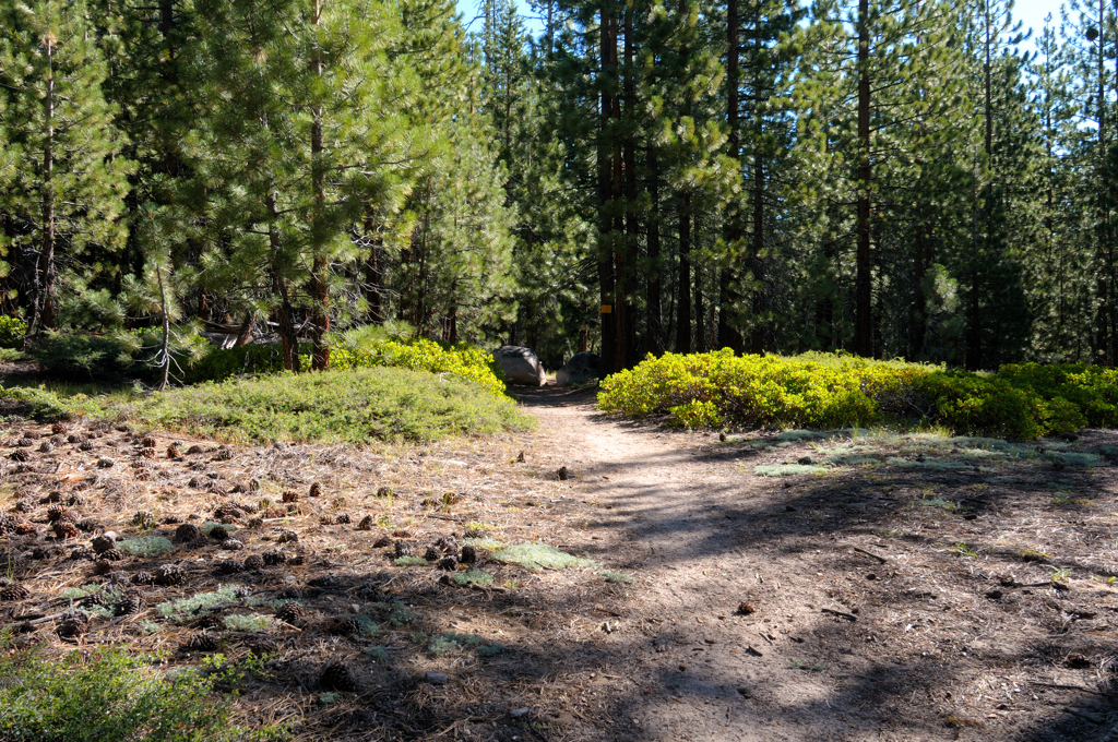
And the trail beckoning:
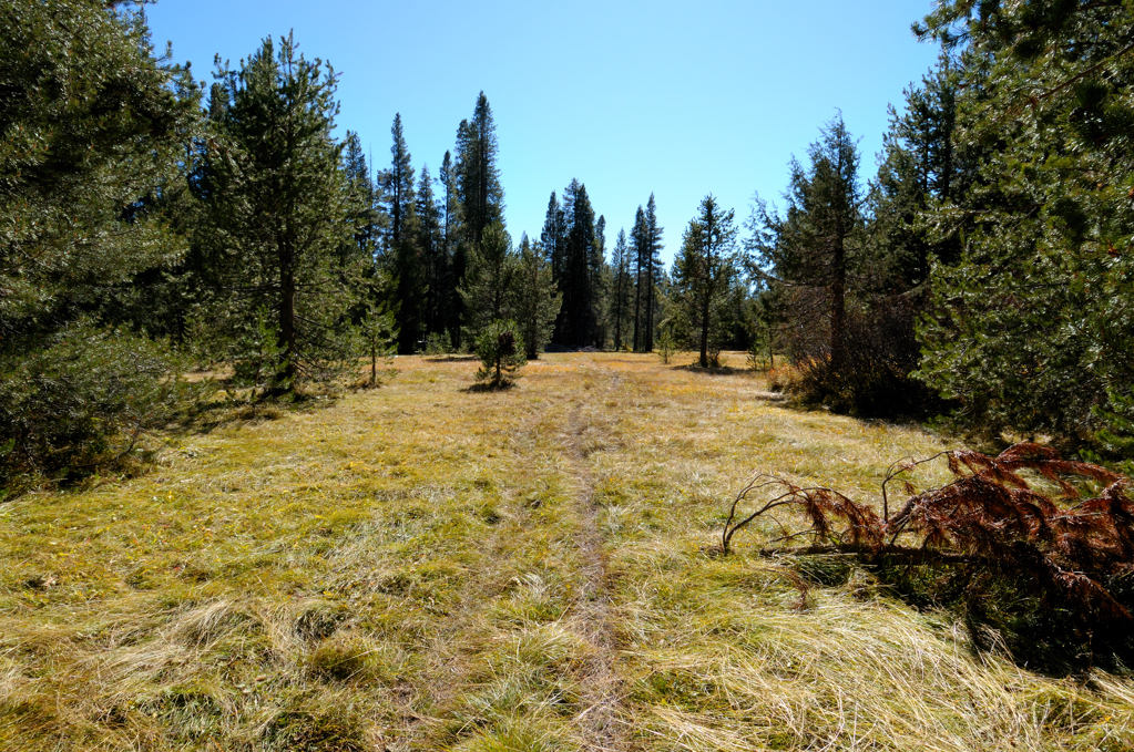
Here's where it all went South (literally). This photo was taken at 2:06PM. I had just passed the trail heading to the right (north east). At this point I headed to the left hoping to find a trail cutting to the right and uphill.:
La-di-daa... here I am at 2:36pm (I'm now 1 hour off the pace if I chose the wrong direction):
2:52pm. I realize exactly where I am for the first time in an hour and a half - at the abandoned pack station which is roughly 1500 feet from the trailhead as the crow flies. I am now 100 minutes off schedule as I prepare to backtrack.